
Brief Information
Bukit Apeh literally translates into “Uncle’s Hill” in Chinese context, I’m not too sure why they named it as such but I reckon its best we leave it at that. Bukit Apeh is connected to another hill named Bukit Saga, both shares a similar peak thus the differences are their entry points and I reckon Saga is longer in distance too. Very similar to Bukit Gasing, there are many interconnected trails within the vicinity.
My Experience
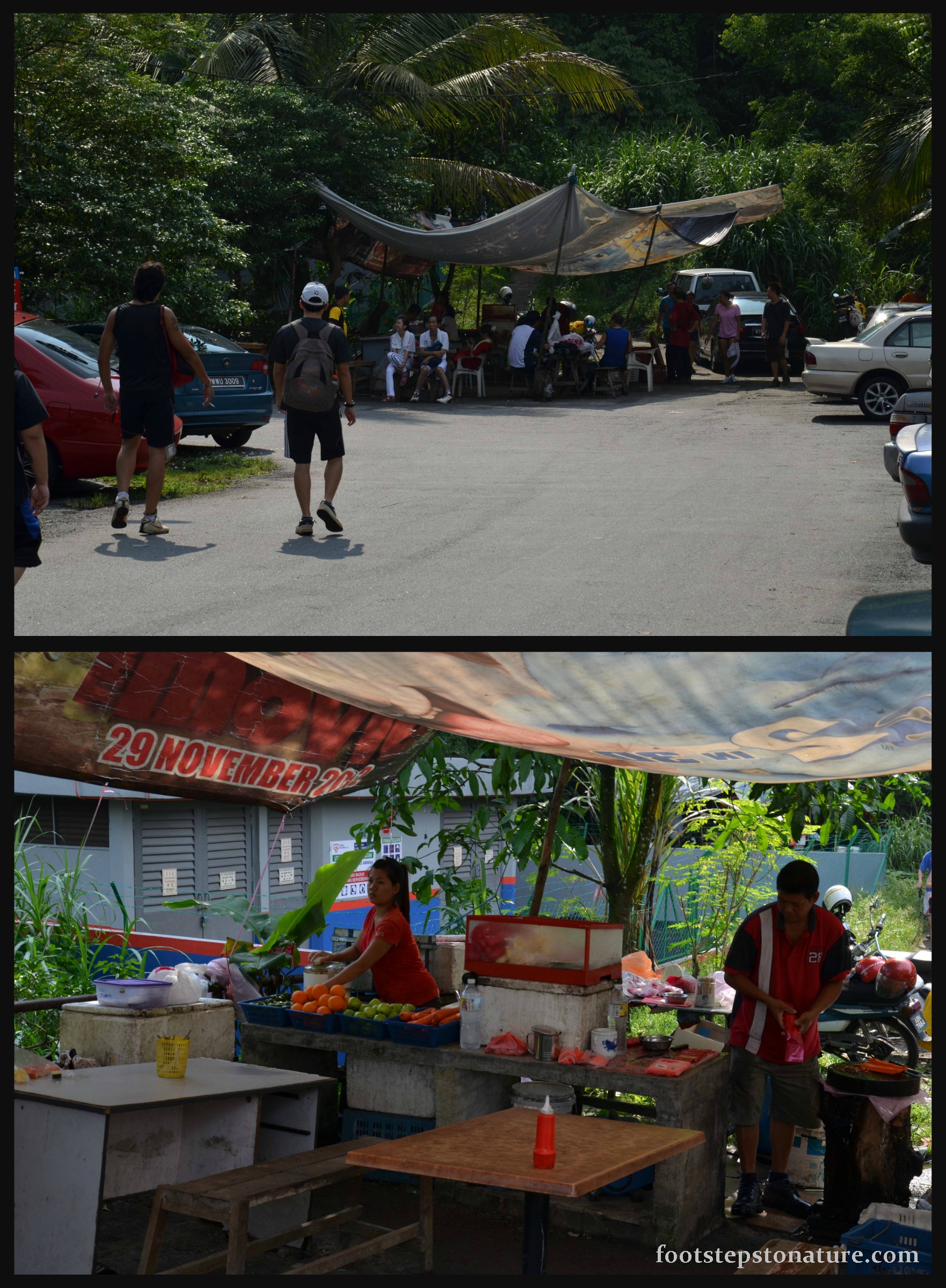
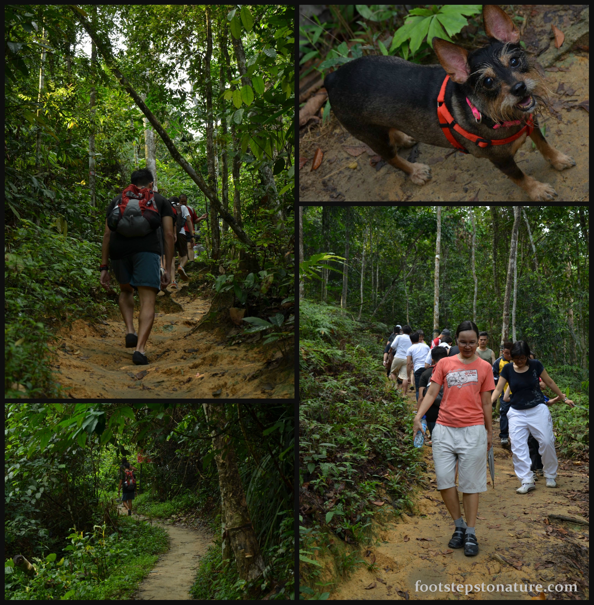
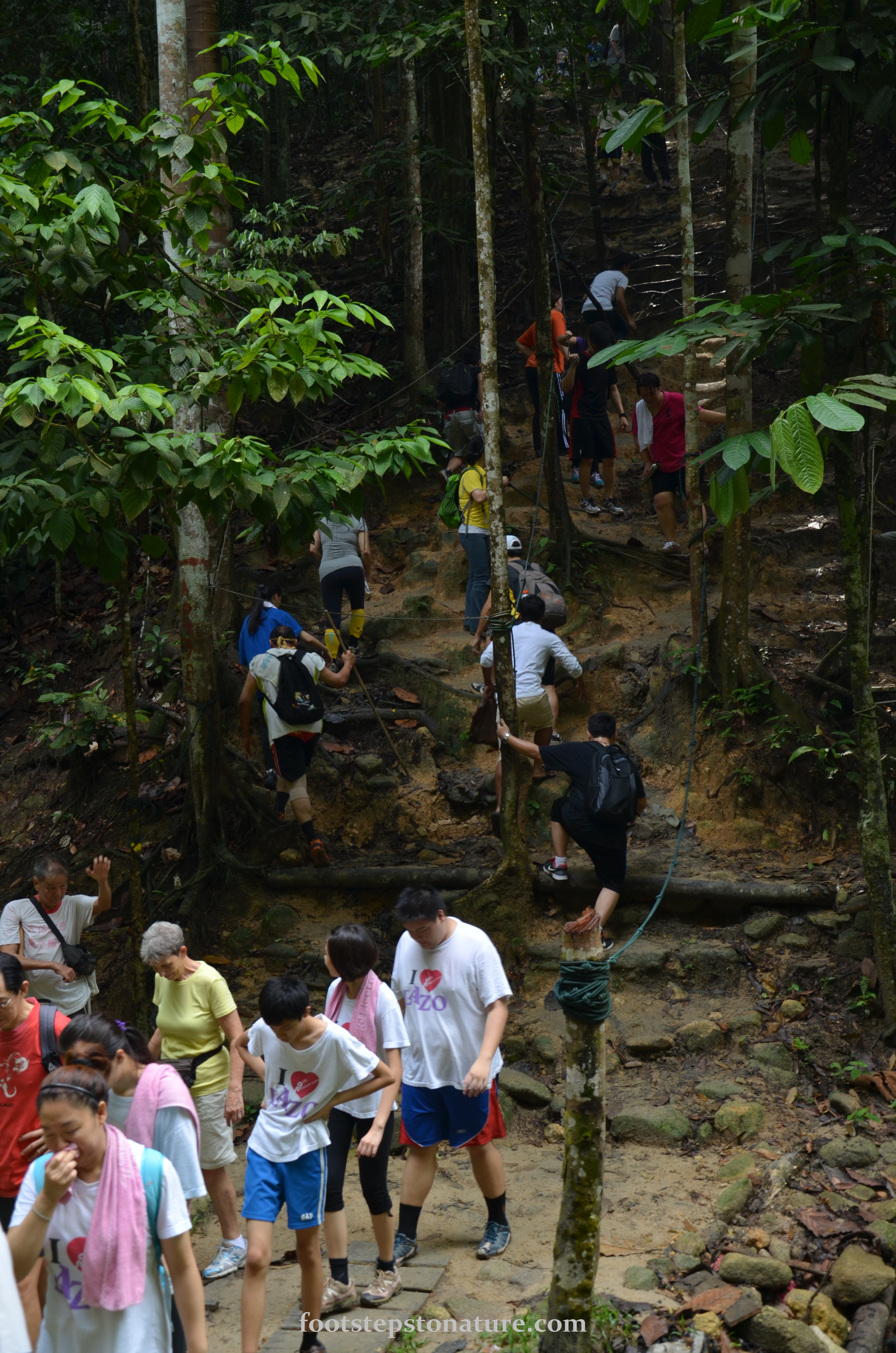
I have two words to summarise Apeh Hill, ‘popular’ and ‘lunges’. For obvious reasons, this place is equally as popular as Gasing Hill judging from the amount of cars parked along the road as well as people traffic along the trails. Lunges! The only time I have ever climbed so many steps in a day was at Mount Kinabalu, but I think it’s more of the long steep stretches that caused our heart rates to scream inside our averagely fit bodies.
There are a total of 6 levels in Bukit Apeh but somehow we did not go through all of them to reach the peak at level 6. The initial phase of the hike to level 1 was quite the warm-up with gradual up and downhill climbs, good to get your heart rate increased. From level 1 onward it is like doing lunges all the way up with another 2 more rest stops before reaching level 6.
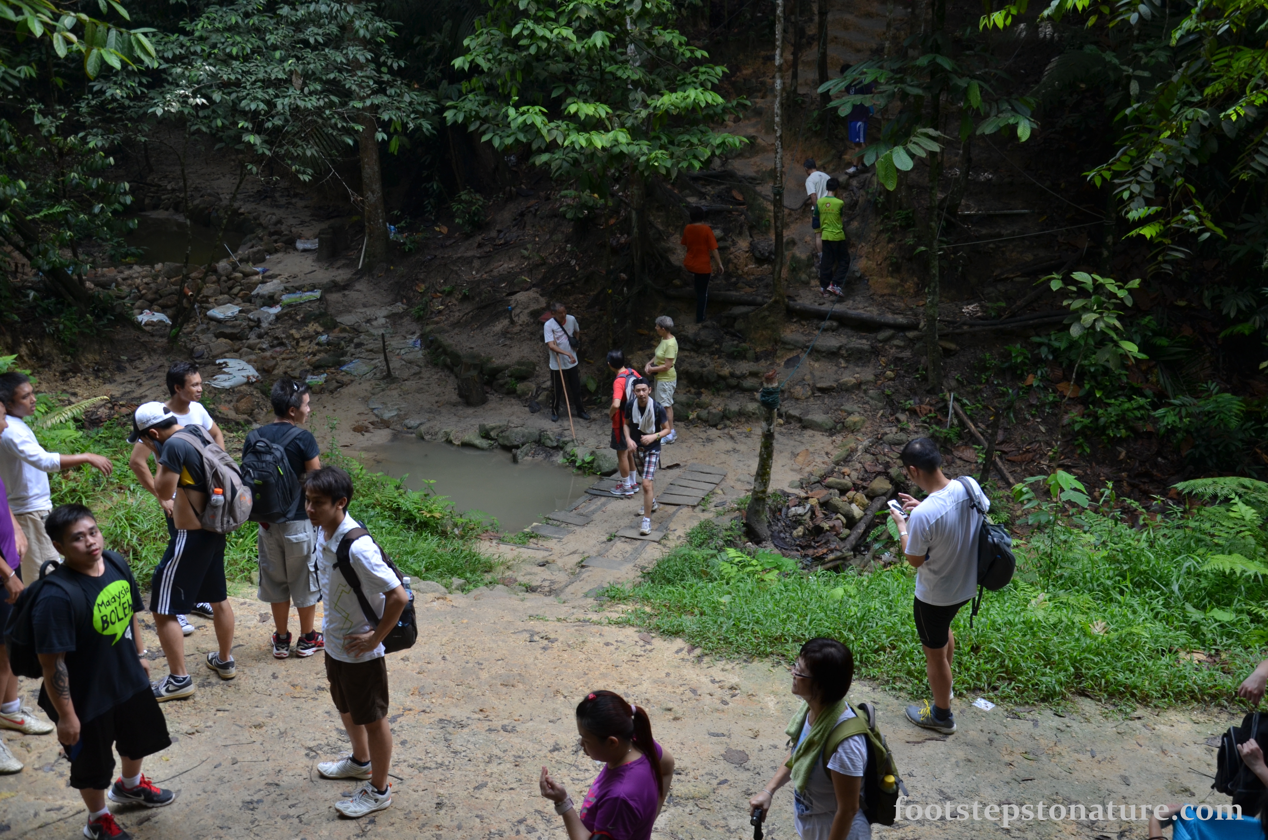
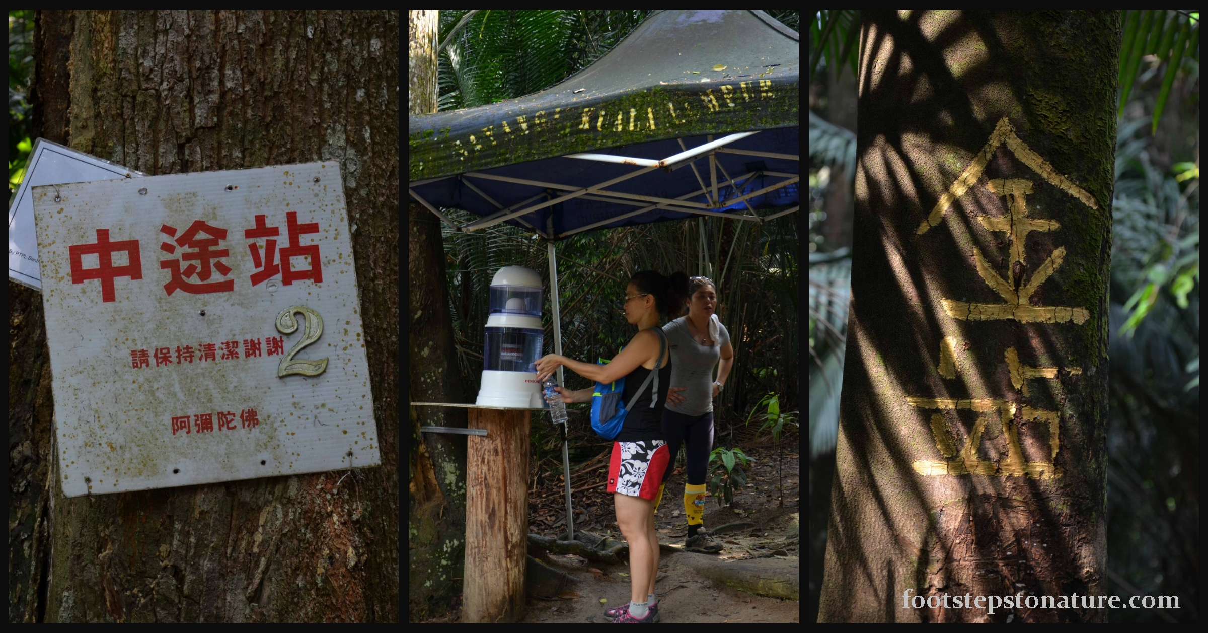
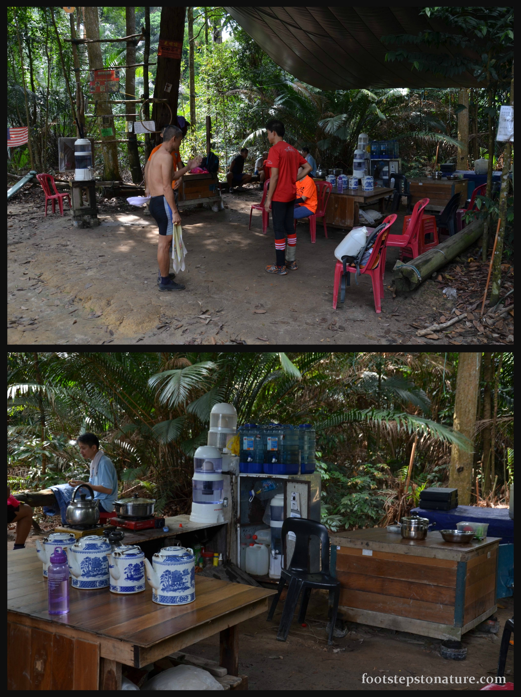
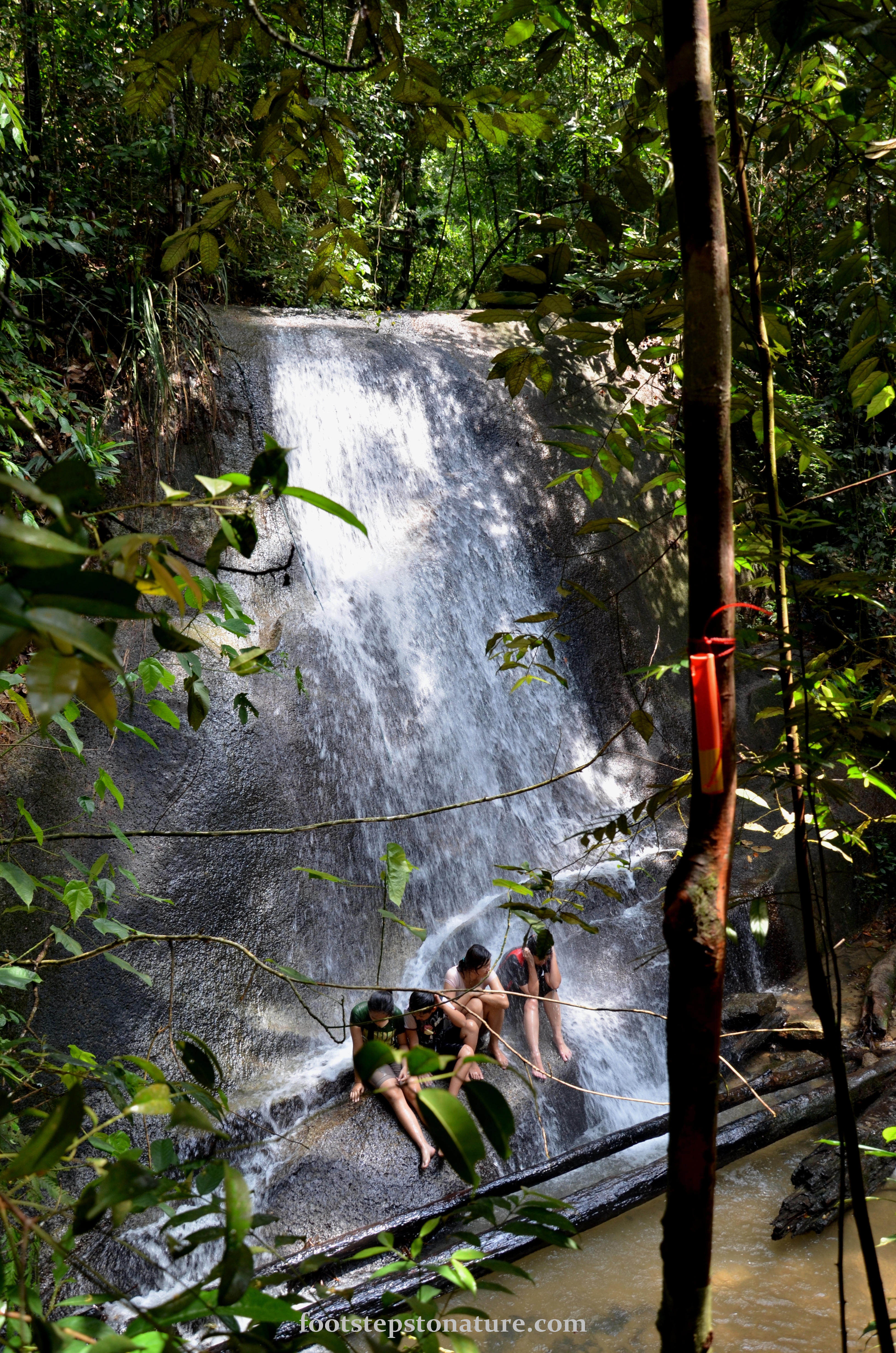
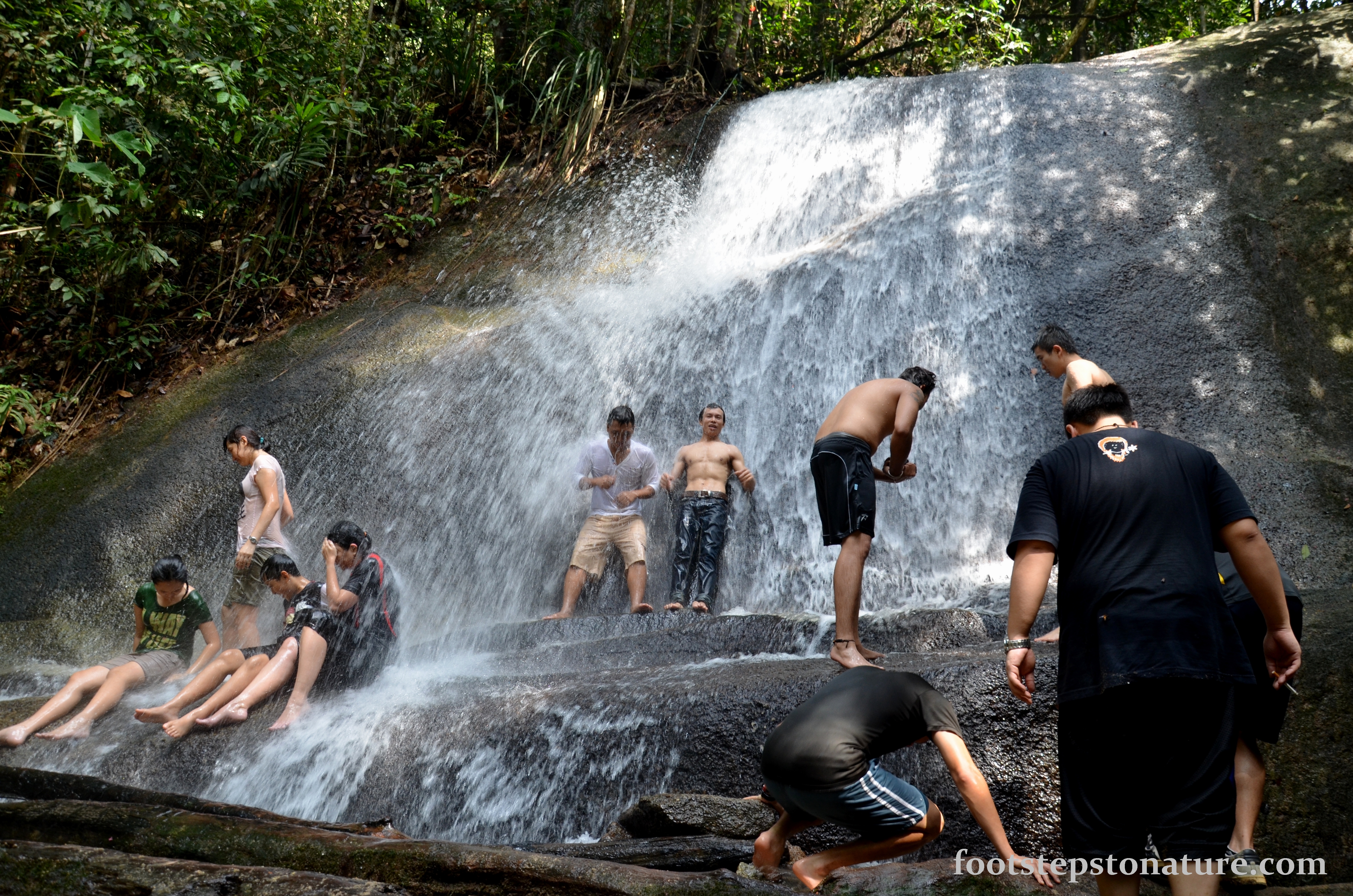
We began our hike at 10am and managed to reach level 6 in 45 minutes. Though it is considered short compared to some other hikes I’ve been, Bukit Apeh works the thigh and glutes very well. You could throw a small rave party at level 6, literally. It was quite a big area with a large canopy complete with water stations, tables, chairs, tea pots, and even a chin-up bar. For those who enjoy waterfalls, the hike is only within half an hour away.
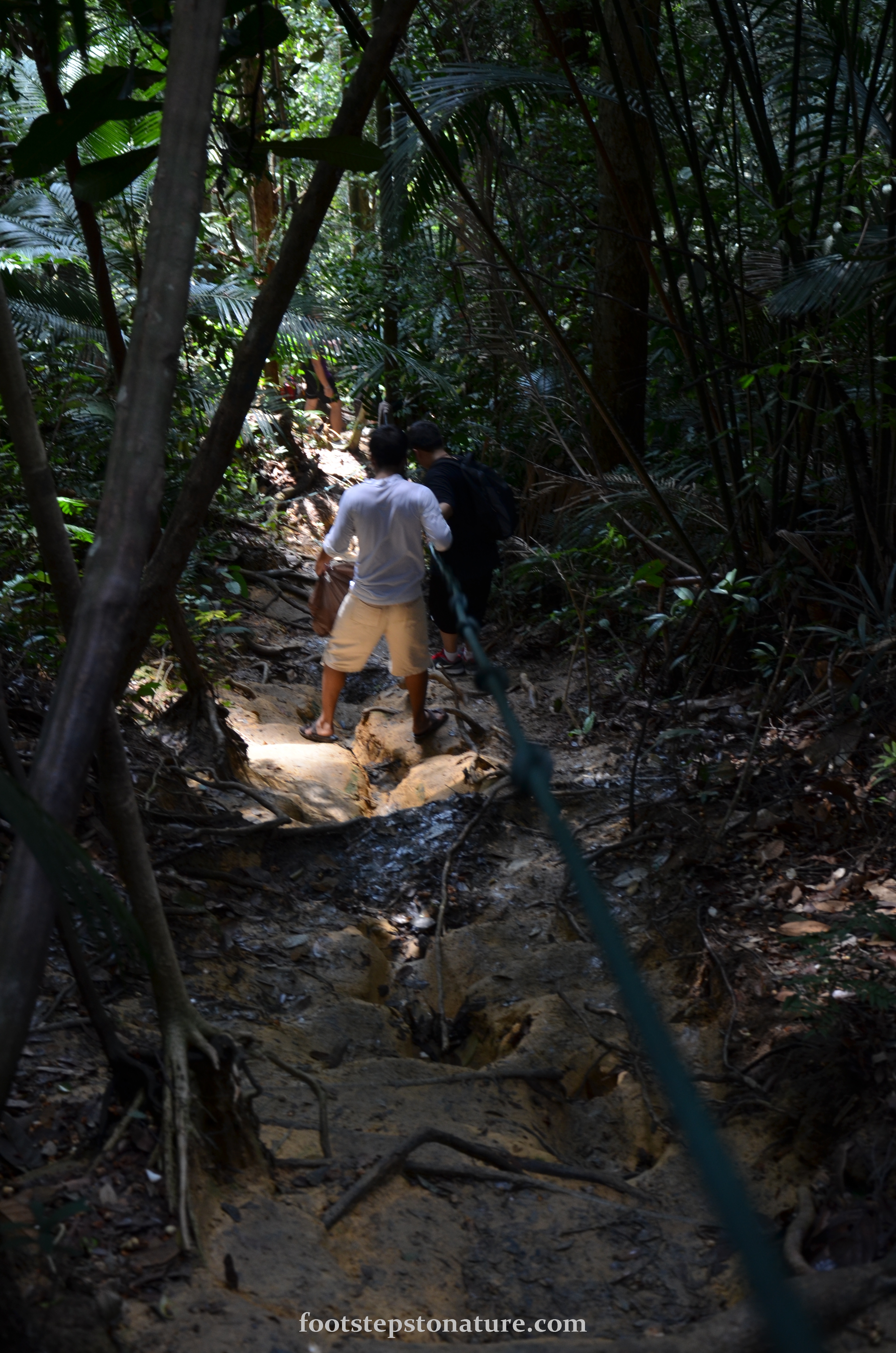
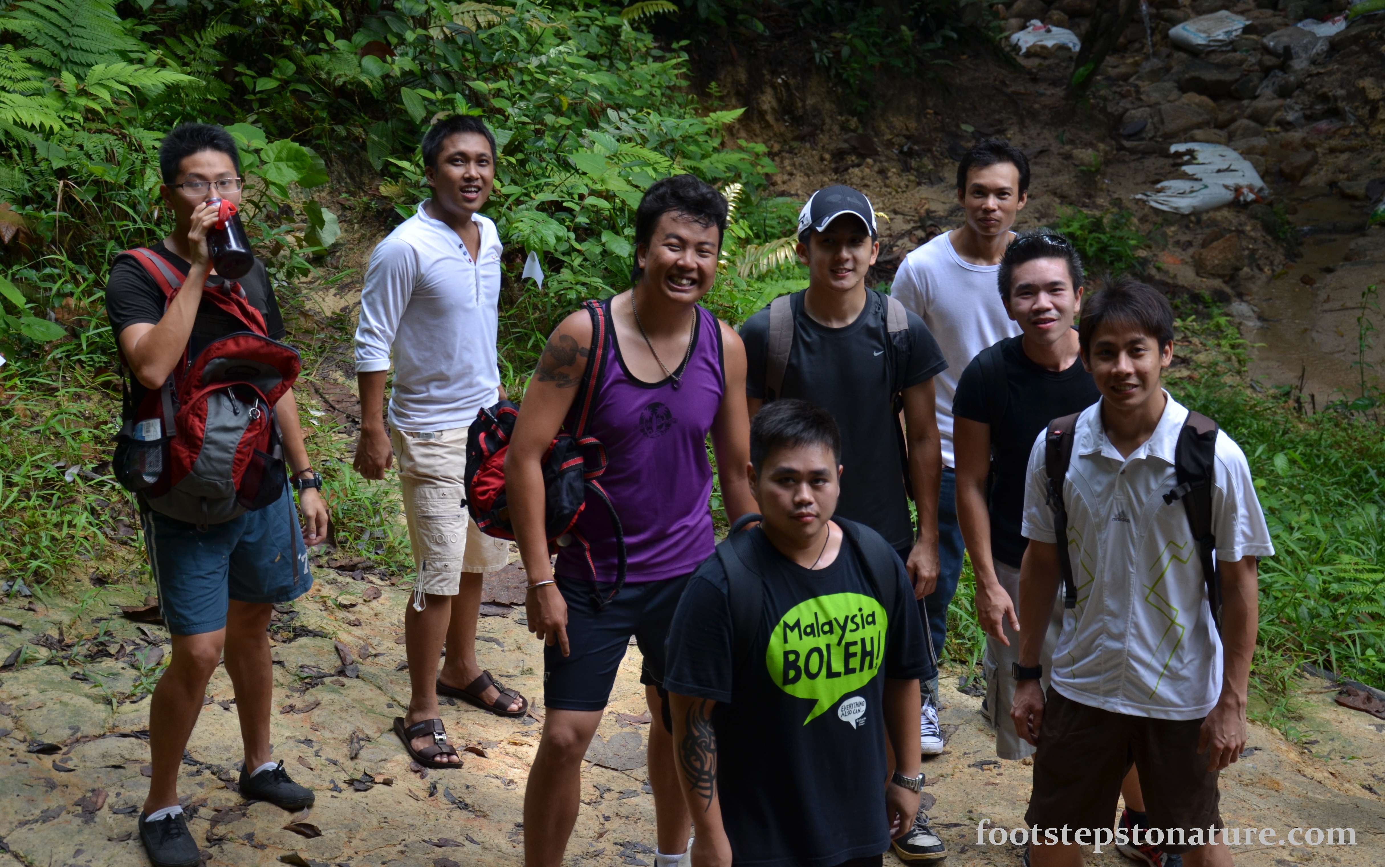
Overall Bukit Apeh offers a good few hours of hiking if you decide to detour to the waterfall. However, if you’re looking for bigger challenges try hiking from one entrance all the way to another. I realised that there are a lot of friendly hikers out there who’d greet you and even offer assistance. So put on a smile when you’re out there too.
What to bring/wear?
- Lotion for bee sting
Jo’s ratings (ratings are subjective and biased towards participants’ experience)
- Accessibility: 10/10
If possible park your car along the main road rather than inside the neighbourhood
- Difficulty: 5/10
Long stretches of uphill climbing gets the heart racing but overall it’s good training for tougher hikes
- Rewarding Experience: 5/10
Nothing very spectacular about this hike except that it is convenient and good toning for the glutes
- Overall Rating: 5/10
Good place for a quick getaway hike, very people-friendly place with guiding ropes for steep sections of the hike. Waterfall was not much to shout about
Additional Information
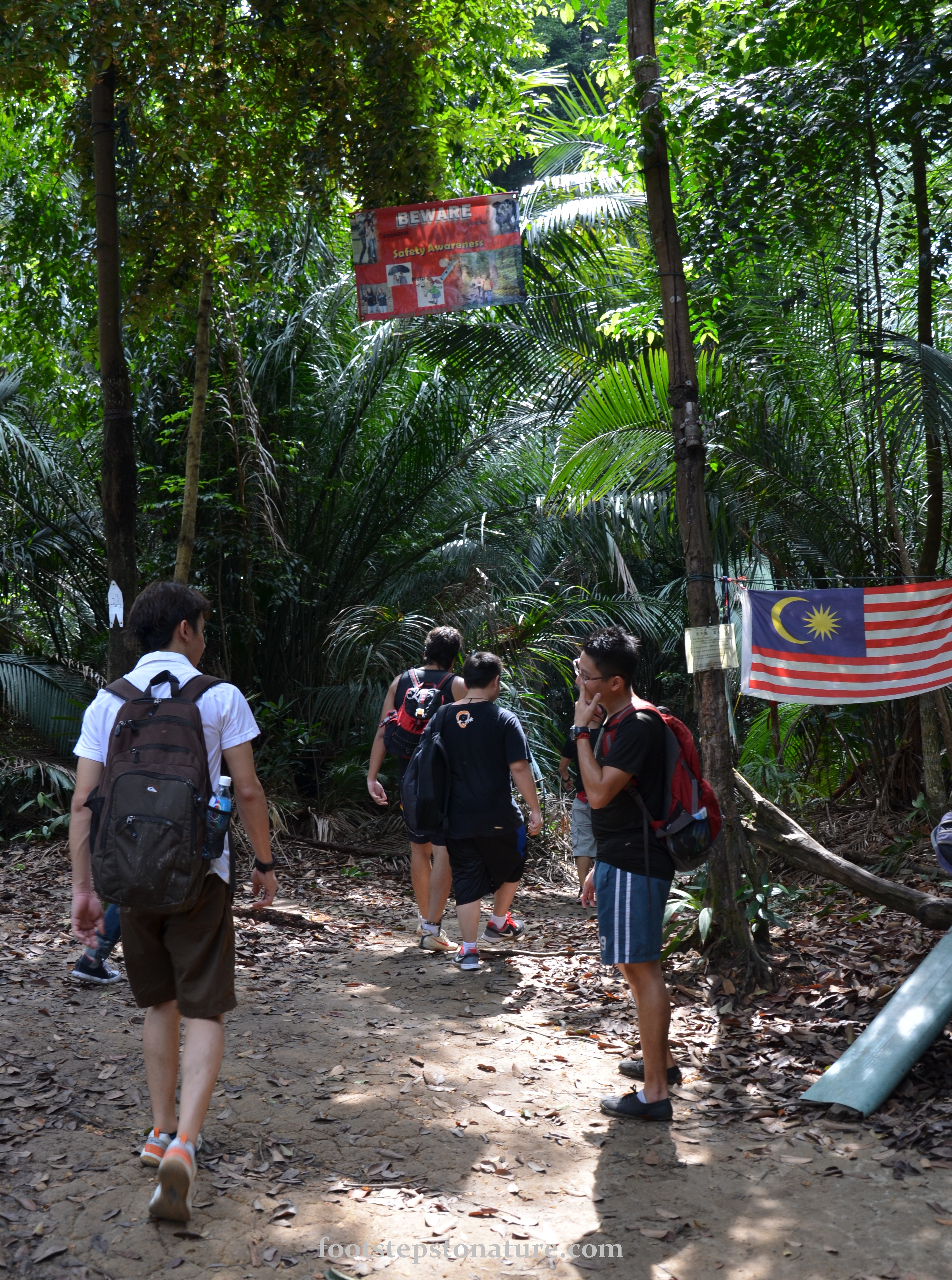
Be careful of bees. Carry lotion for bee stings or even adrenaline shots to prevent allergic reactions if they do sell those here.
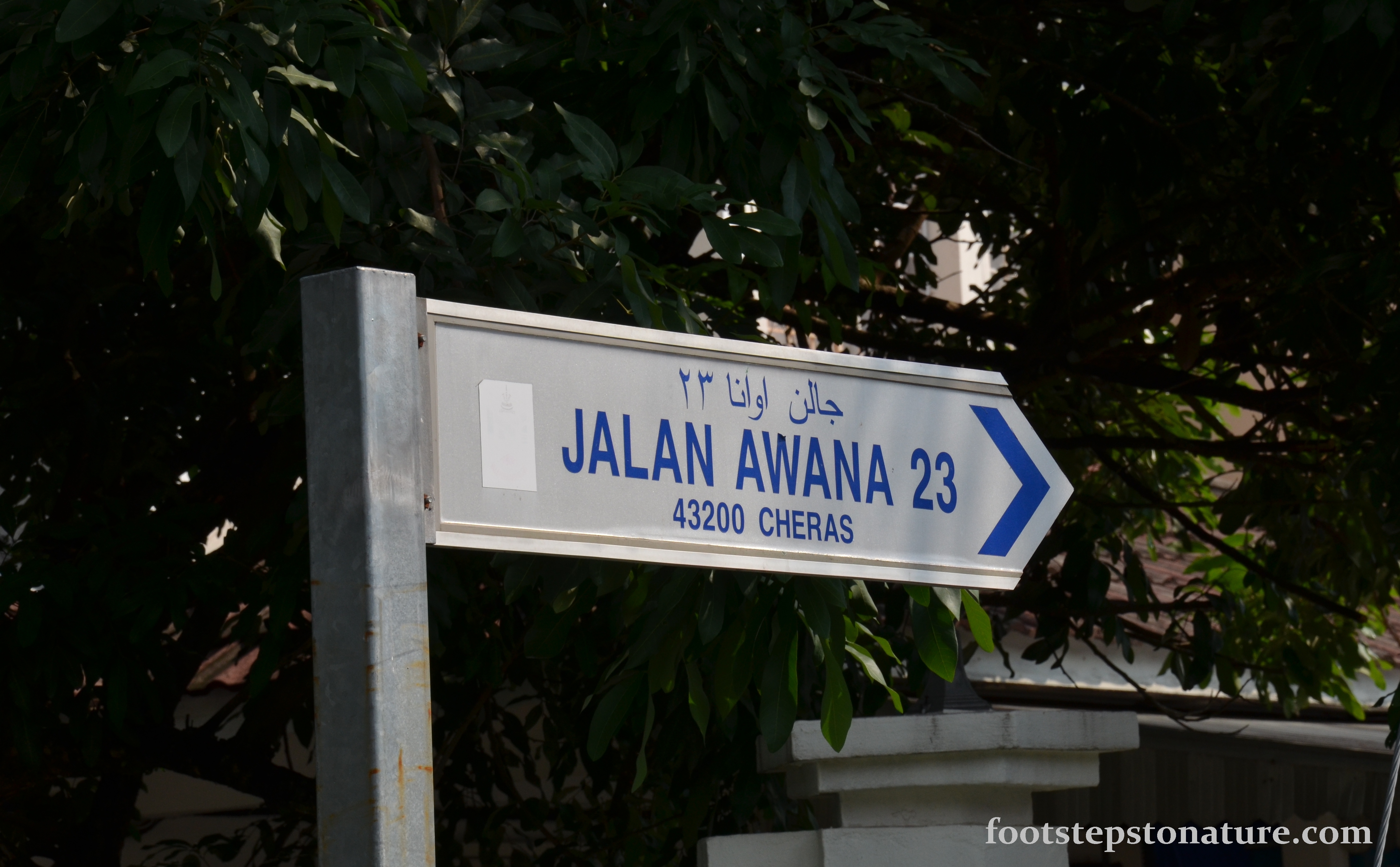
Getting there
GPS Coordinates (Decimal Degrees): 3.089615 101.766131
Directions are very straight forward, just search for Jalan Awana 23 with Maps or Waze.